top of page

Constantine at the beginning of the 1900s...
In a new project, we are trying to identify the effect of viticulture in Algeria on the long term. This paper is co-authored with Sergi Basco and Jordi Domènech.


Previously, in Maravall (2019), I studied rural settlement in Constantine. In this paper I show how the relative quantities of land and labour shaped the colonial land policy and settler modes of production.
Source: See Maravall, L., (2019, p. 13). Factor endowments on the ‘frontier’: Algerian settler agriculture at the beginning of the 1900s. The Economic History Review.
The influence of colonialism on Africa's Welfare:
An anthropometric study
Sources used for map:
Number of observations in Hiernaux (1968) Source: Hiernaux (1968). Notes: This map displays the information provided by one of the major sources used in our study, Hiernaux (1968). The map shows the number of individuals. We only include those based on Hiernaux because he reported coordinates which most of the other studies did not. 312 of Hiernaux's observations provide information on the average stature. We could not include all his observations as some could not be assigned to specific birth decades. Concerning the precision of the coordinates of each observation, Hiernaux did not report decimals in coordinates and, thus, when georeferencing,
the dots were not exact. Therefore, we georeferenced each dot, based on the map presented in Hiernaux (1968) and the information provided by Murdock about the location of ethnic groups.

Colonial railways in Constantine


In this project we present new evidence on the anthropometric development of 47 countries and ask ourselves if colonialism had an influence on the biological standard of living of Africans.

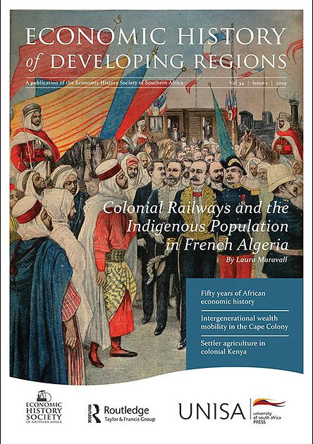
Source: `The Impact of a ‘Colonizing River’: Colonial Railways and the Indigenous Population in French Algeria at the Turn of the Century.' Published in Economic History of Developing Regions, https://doi.org/10.1080/20780389.2019.1581059.
Poster presented at the Economic History Society's Annual Conference (EHS, 2016)

The influence of Scandinavian settlers in England (paper in preparation)

Sources used for map:
1. Place names from https://halogen.le.ac.uk/query/kepn. The data comes from the Institute for Name-Studies at the University of Nottingham. The source gives information on place names, its etymology, derivation, references and the historic county where it was situated. We manually georefferenced each place name from the webpage.
2. Danelaw boundary. Shapefile for the boundary of Danelaw was kindly provided by Alexander Thomas. He created the shapefile as a part of his PhD research. For more details concerning his project, see https://finds.org.uk/research/projects/project/id/475.
3. For subdistrict boundaries, see :
Satchell, A., Kitson, P., Newton, G., Shaw-Taylor, L., Wrigley, E. (2017). 1851 England and Wales census parishes, townships and places. [data collection]. UK Data Service. SN: 852816, http://doi.org/10.5255/UKDA-SN-852232.
My article `The Impact of a 'Colonizing River': Colonial Railways and the Indigenous Population in French Algeria at the Turn of the Century´ was selected for the cover page in the Economic History of Developing Regions (vol.34)!
bottom of page